

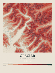
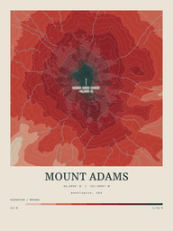
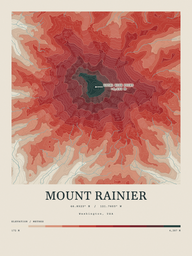
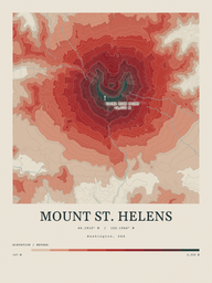
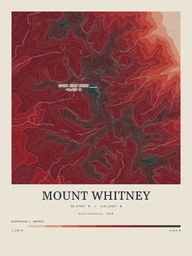
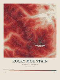
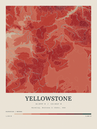
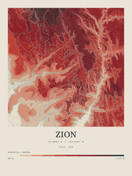
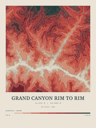
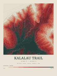
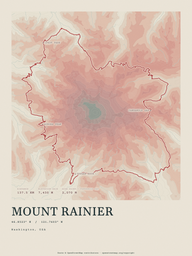
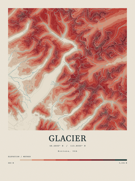
Contour Colour · TopoInk series
Terrain prints · drawn from real elevation dataThe mountain they climbed.
The mountain they climbed.
Every ridge where it really is.
If they have stood on it, they will find their way up it without being told where to look. Printed to order on archival matte.
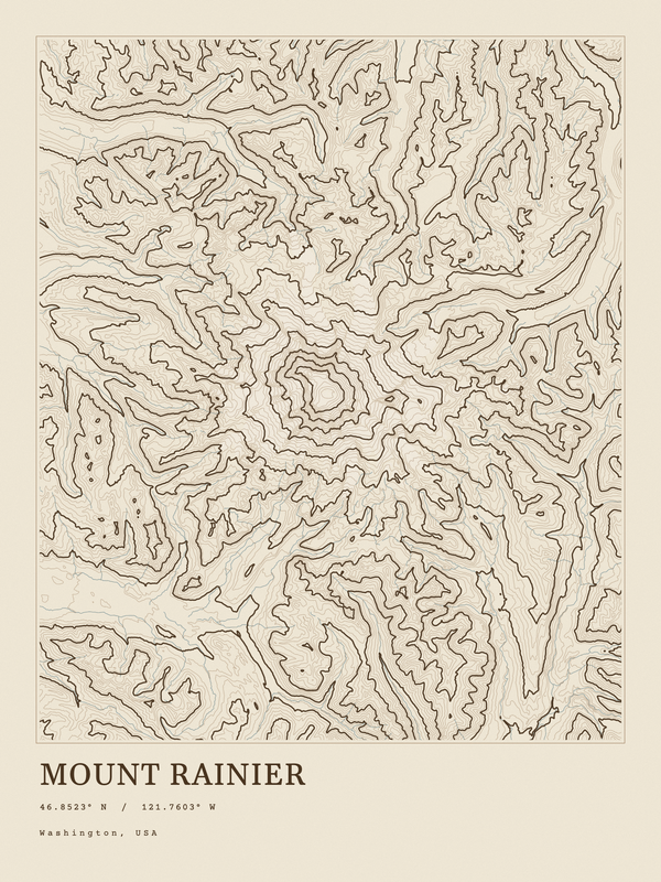
On the wall · Washington
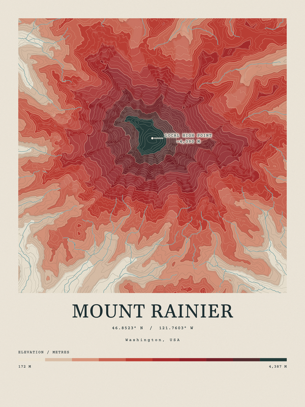
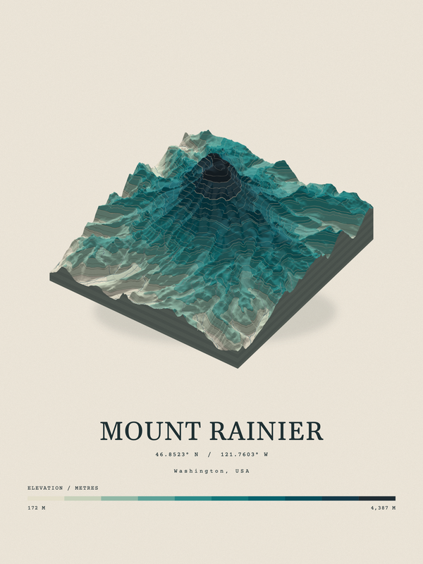
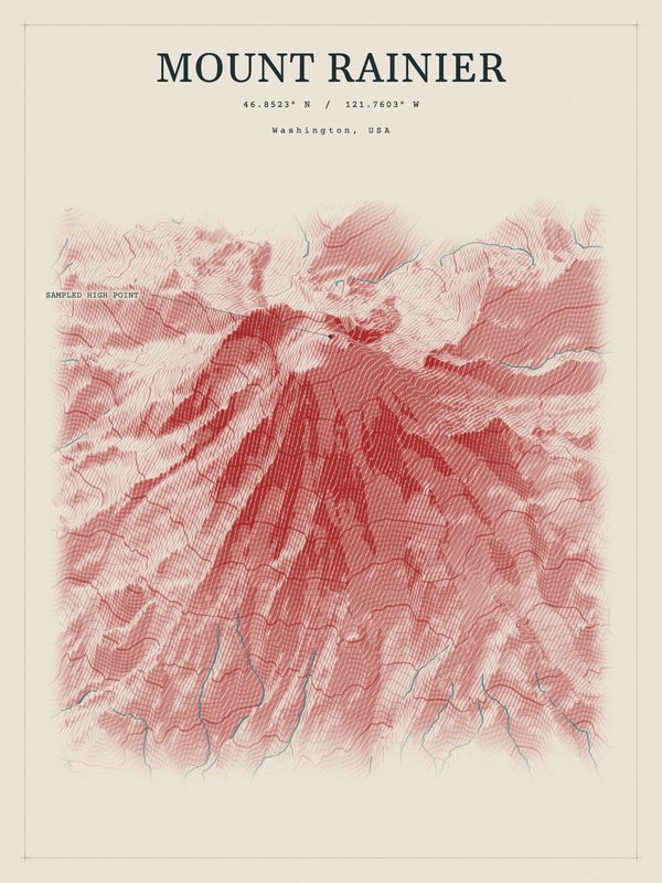
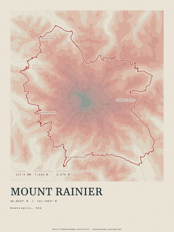
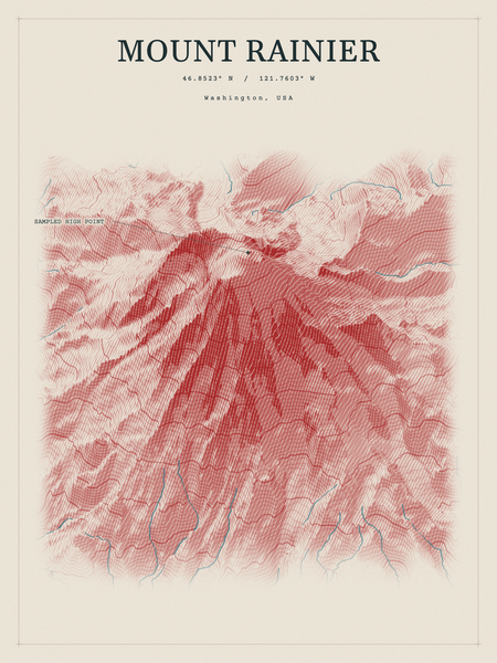
Mount Rainier
46.8523° N / 121.7603° W
Find a place
Where did they go?
Every place opens in the series showing above. Change the series there and these follow.
How it is made
Look closely. It holds up.
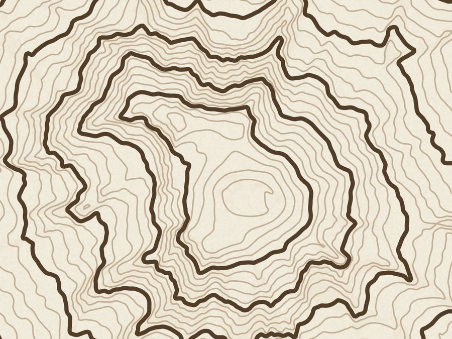
Four inches of Mount Rainier
A 4 × 3 in piece of the 18 × 24 Ink sheet at print resolution, 300 dots per inch. Each line is a contour read from elevation data.
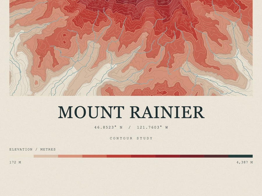
The numbers come off the mountain
The Contour Colour sheet prints its coordinates and its elevation range, read from the same data that draws it: 172 m to 4,387 m on Mount Rainier.
Three sizes, drawn to scale
12 × 18, 18 × 24 and 24 × 36 in, beside a figure 5 ft 7 in tall. Each fits a standard frame.
Giving one
Who is it for?
You know the person. You do not need to know the trail.
The wall
See every print →
Places worth keeping
Pick a size on any print to add it. Try a frame on the whole wall before you choose.
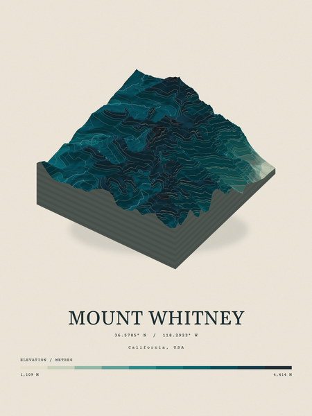
Terrain Relief · TopoInk series
Mount Whitney
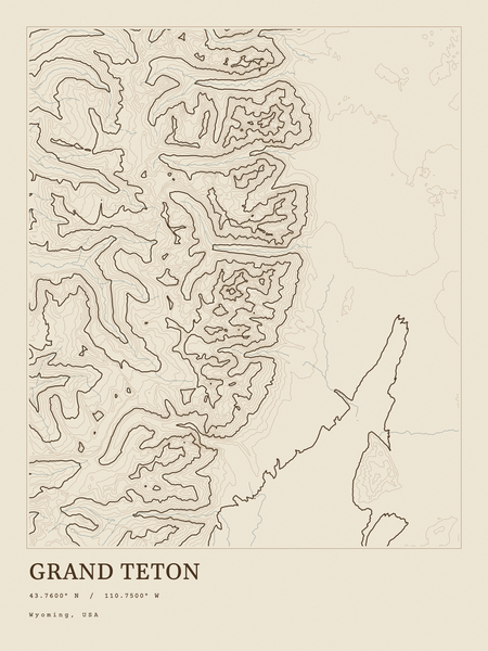
Ink · TopoInk series
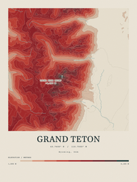
Grand Teton
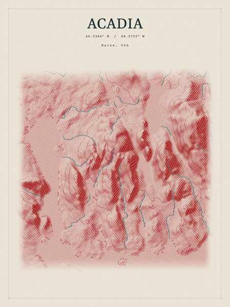
Red Relief · TopoInk series
Acadia
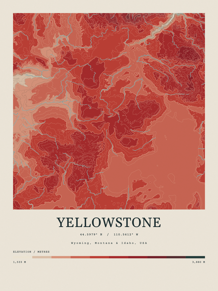
Contour Colour · TopoInk series
Yellowstone
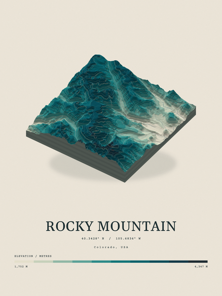
Terrain Relief · TopoInk series
Rocky Mountain
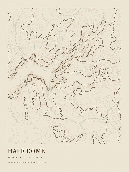
Ink · TopoInk series
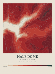
Half Dome
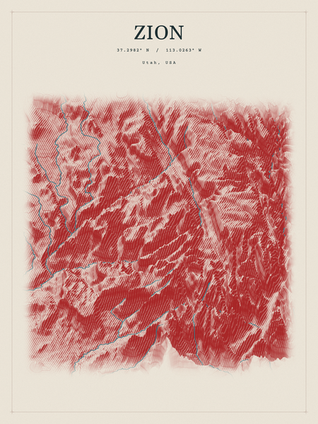
Red Relief · TopoInk series
Zion
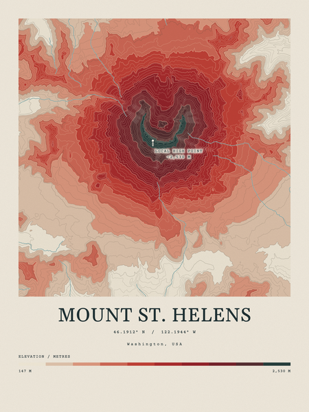
Contour Colour · TopoInk series
Mount St. Helens
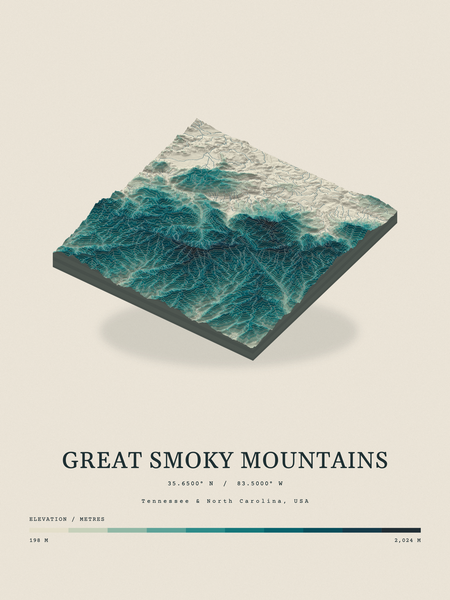
Terrain Relief · TopoInk series
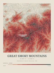
Great Smoky Mountains
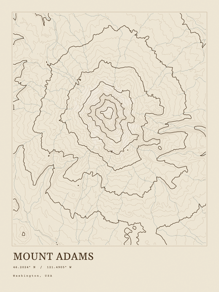
Ink · TopoInk series
Mount Adams
Red Relief · TopoInk series